Get quality data at all stages of your project!
Topographic data is used in all construction projects whether for the selection of the ideal site, the design or even the construction of a building. The positioning of physical and anthropogenic elements becomes essential in making informed decisions before, during and after a project.
In the field of construction, the capture of lidar data has the advantage of providing up-to-date quality data that meets the technical needs of all stages required in the planning of a development project. The drone makes it possible to capture an entire site much faster than a terrestrial lidar and with better resolution and accuracy than the sensors on board a manned aircraft.
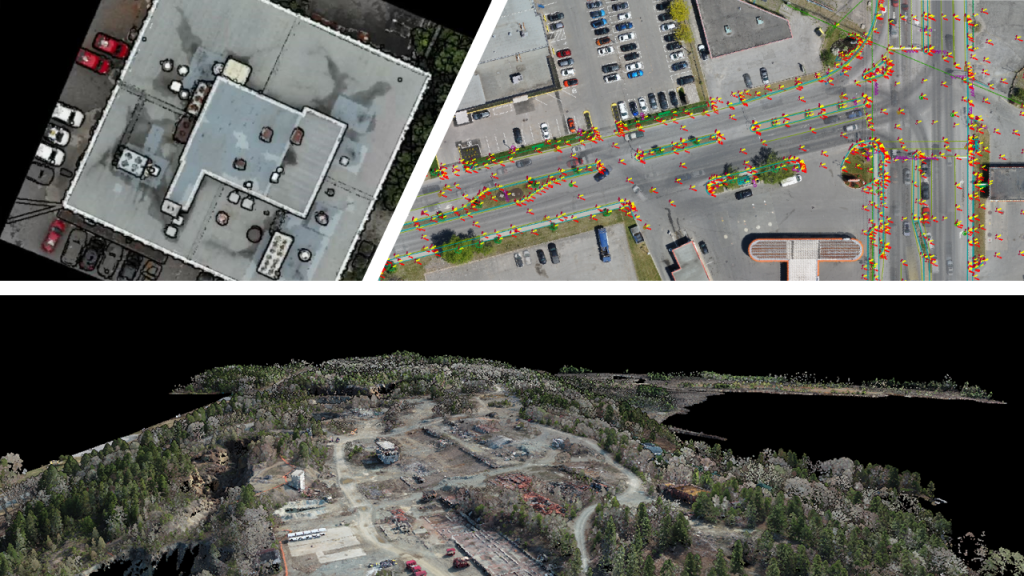
Deliverables in this sector include detailed mapping, slope index, drainage, contour lines, terrain and surface elevation models (DTM and SDM) as well as the 3D drawing of all the infrastructures composing the construction site.

Courtesy of : Vital Roy and MVT GeoSolutions
