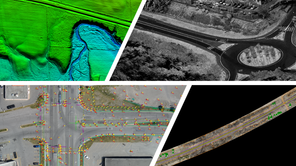
The use of a drone mounted lidar in the transport industry
The mapping of transport corridors is essential and requires sufficiently precise data to detect any obstacles that may hinder the development of a new road or road operations.
A drone mounted lidar is often used to model both sides of a ditch. The drone makes it possible to fly directly above the ditch, making it possible to obtain a measurement of greater precision and density than a lidar sensor installed on a road vehicle, which in turn will capture only one side of the ditch. The high density of lidar point cloud obtained of the ditch makes it possible to create a digital terrain model even when it is covered with dense shrubs or even phragmites. Obtaining a point cloud along the road also makes it possible to scan culverts directly from 3D point clouds without having to send a technician into the field.
Compared to other airborne vehicles used for geospatial data collection, drone lidar is more economical. The accuracy and resolution of the data is superior for scanning small objects such as curbs, traffic signs and lights.

Courtesy of : Vital Roy and MVT GeoSolutions