
Balko Tech
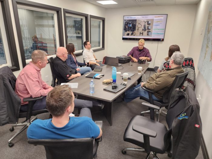
TP-15263 Advanced Operators (Ground School)
This theoretical pilot training is given by a certified pilot and takes place in hybrid/flex mode. It covers topics such as meteorology, flight theory, Canadian aviation regulations, management and storage of drone cells, engines and other systems, radio communications procedures and flight operations.
Length: 32 hours
Location: Online
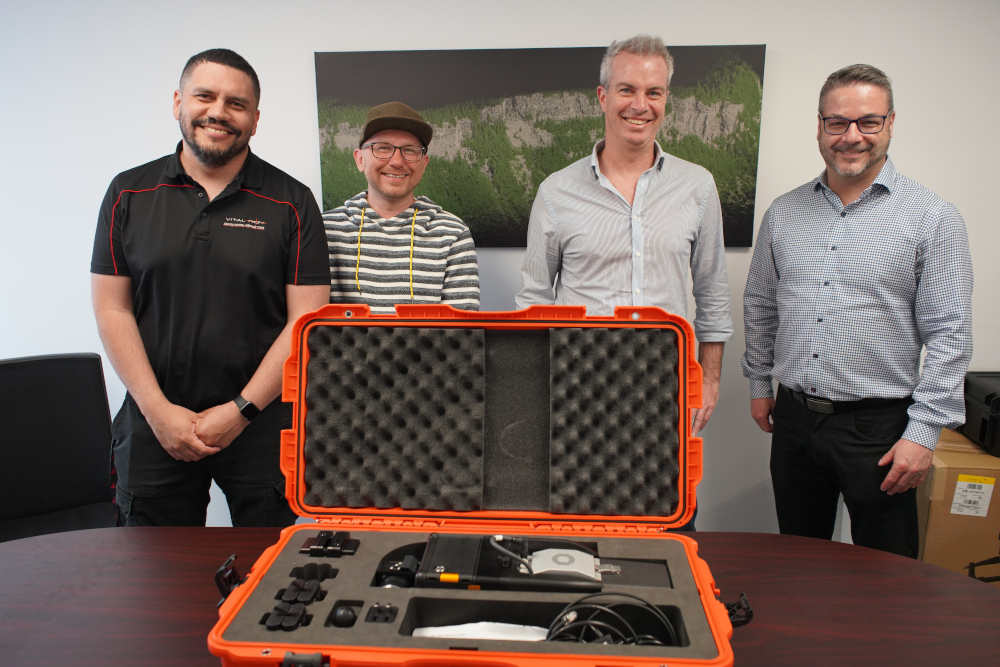
Data acquisition and processing with Balko Tech Lidar for intermediary and advanced surveyors
This in-depth training covers everything you need to know about the Balko Tech lidar system and how to perform drone data acquisition. Learn how to exchange modules, validate data and use the e-LAS software.
Length: 16 hours
Location: Online/Onsite
Data acquisition and processing with Balko Tech Lidar and introduction to geodesy
This in-depth training covers everything you need to know about the Balko Tech lidar system and how to perform drone data acquisition. Learn how to exchange modules, validate data and use the e-LAS software. Also included is an introduction to geodesy as well as training on POSPac.
Length: 24 hours
Location: Online/Onsite
TP-15263 Advanced Operators (Practical)
This hands-on training covers topics such as automatic flight planning software, pre-flight planning procedures, equipment storage and recharging, manual flight procedure, flight practice, review and certification.
Length: 16 hours
Location : Onsite
Transport Canada Flight Review
Transport Canada Flight Review
Length: 2 hours
Location: Onsite
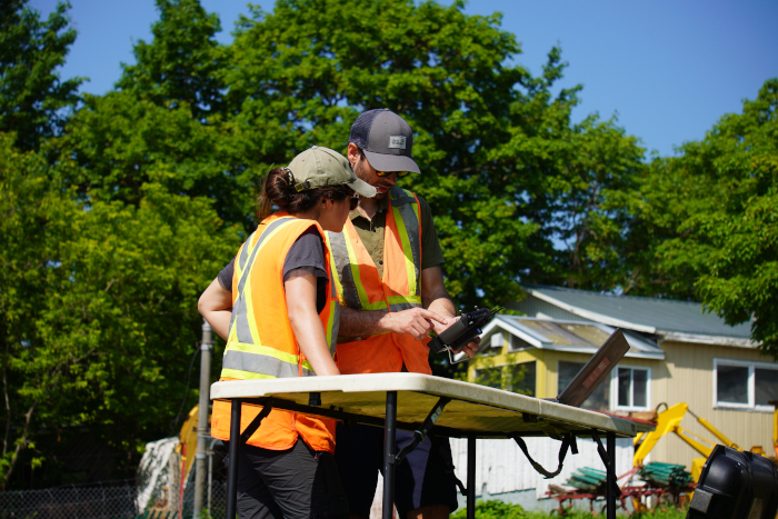
UGCS Training
Learn drone specific settings, how to use the mapping feature, different flight planning tools, how to connect to the drone and create and execute a flight plan.
Length: 4 hours
Location: Online
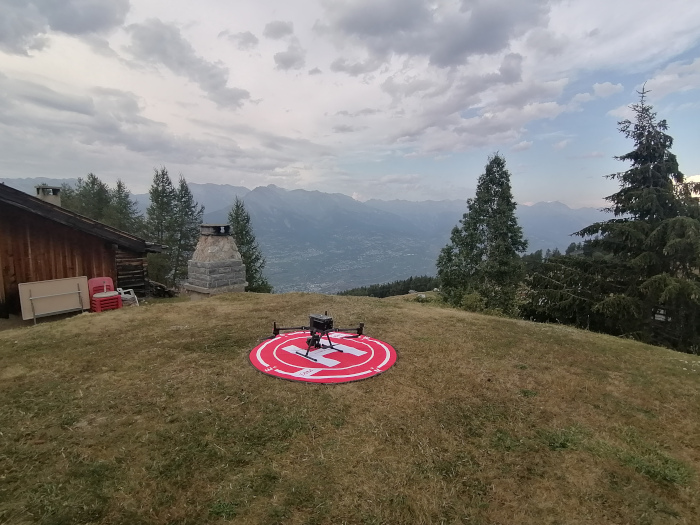
Photogrammetric
Learn how to use an automatic drone control platform to pilot a drone for a specific use and process the images to create a final deliverable. Includes half a day of theoretical training to learn the different software and half a day of practical training to pilot the drone using the required applications.
Length: 8 hours
Location: Onsite
Terrasolid Full Version (Terra Scan, Terra Modeler and Terra Match)
Introduction to Terrasolid modules, project preparation, project creation using TerraScan, training on TerraMatch, soil classification, 3D surface models using TerraModeler and how to use TerraPhoto.
Length: 24 hours
Location: Online/Onsite
Pix4D
Introduction to Pix4D features, data preparation, project structure, report analysis, calibration and georeferencing, quality control and point cloud adjustments, and final project quality control.
Length: 8 hours
Location: Online/Onsite
Terrasolid UAV Version (Terra Scan, Terra Modeler and Terra Match)
Introduction to Terrasolid modules, project preparation, project creation using TerraScan, TerraMatch training, soil classification and 3D surface models using TerraModeler.
Length: 8 hours
Location: Online/Onsite