
Environmental studies simplified using drone mounted lidars
Lidar allows regular and accurate monitoring of changes in the environment, such as coastal erosion, deforestation, vegetation growth and changes in waterways.
The unique advantage of a drone mounted lidar is to obtain a high density of points with high accuracy in areas that are difficult to access due to the presence of very dense shrub vegetation or where a technician’s safety may be compromised such as along a cliff or landslide.
Drone mounted lidar systems provide data that can detect very small changes such as the erosion lines of the banks under shrub cover, the shape and size of a landslide under forest cover, the volumetry of a block at risk along a cliff, etc.
The detection of changes associated with environmental monitoring requires collecting lidar data several times in the same period. Digital elevation models are then created and compared with each other. The quality of the resulting change mapping depends on the accuracy and resolution of the lidar data initially captured. Some changes will not be detected if the lidar data does not have the necessary quality. This is why it is essential in this type of monitoring to have a lidar capture solution that will detect changes at the necessary resolution.
The most common types of deliverables in this sector are:
- Shoreline erosion
- Mapping of flood risk areas
- Delimitation of the landslide or risk of scree zone
- Water level height measurement
- Mapping of ground movements
- Calculation of the rate of erosion of an escarpment over a given period
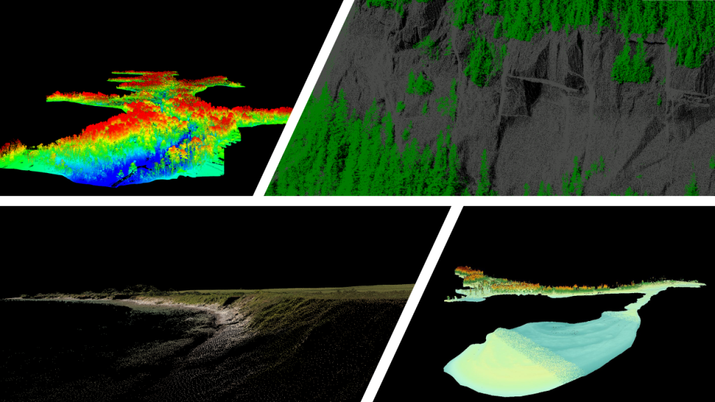
Courtesy of : MVT GeoSolutions