The use of a drone mounted lidar in mapping applications
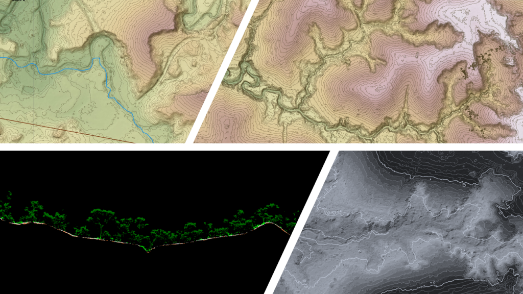
Drone mounted lidars are primarily used for topographic surveys to collect data on the natural and man-made features of the terrain, its contours, relief and points that show the terrain elevation.
Permanent features such as buildings, fences, trees and streams precisely define the soil and its boundaries. Additional details may be included, such as features adjacent to the site.
Topographic maps are used by architects, engineers, construction contractors and others to accurately visualize their sites and help advance development.
One of the major advantages of using a drone mounted lidar is the speed of deployment that allows geographers, surveyors and geomatics professionals to capture data several times in the same year in order to map the temporal changes of the same site.
In addition, the drone makes it possible to capture lidar data with precision and resolution in remote locations where no other technology can, making it possible to discover archaeological sites or unexpected geomorphological forms even on sites covered with dense vegetation.
Courtesy of : MVT GeoSolutions