When it comes to LiDAR data collection, choosing the right drone is just as important as selecting the right sensor. Drones come in various types, each designed to serve specific needs and environments. Whether you’re a professional surveyor, an engineer, or part of a research institution, understanding how the type of drone you select can impact your LiDAR data will help you make the best choice for your project.
Different types of drones
Not all drones are the same. Here’s the main drone categories commonly used in LiDAR surveying:
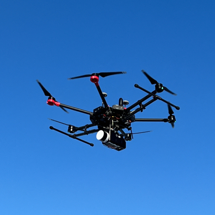
Multirotors
They usually use between 4 and 8 rotors to generate lift and provide flight stability. These drones can take off and land vertically, meaning they don’t require a runway gain speed/slow down, making them highly versatile in various environments.
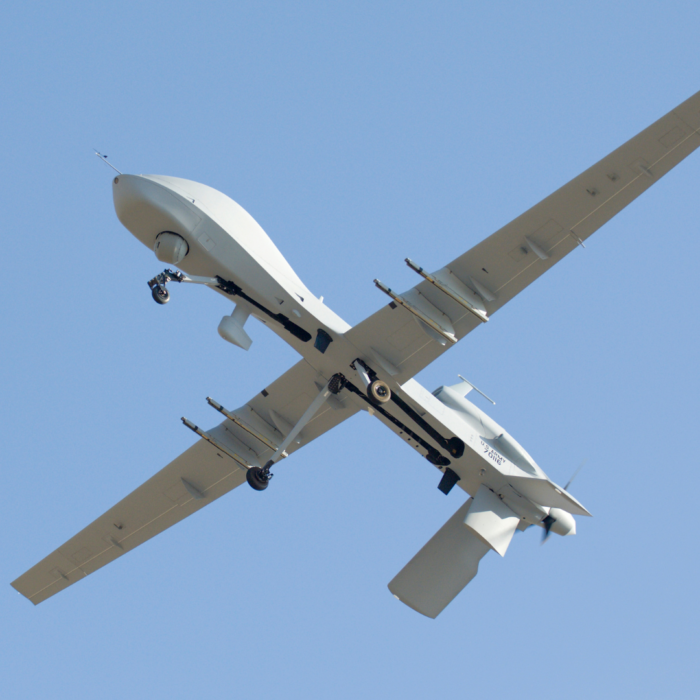
Fixed-Wings
They use wings (similar to an airplane) to generate lift. This allows them to fly efficiently over longer distances and at higher speeds, making them ideal for large-area surveys and mapping. However, they are more sensitive to weather conditions.
Vertical Take-Off and Landing (VTOL)
VTOL drones are a compromise between a multirotor and a fixed-wing drones. Meaning they do not require a runway for operating, but once in-flight transition into forward flight and behave like a fixed wing.
Battery-Powered Drones (Fully Electric Drones)
Typically use lithium-polymer (LiPo) or lithium-ion batteries to power their electric motors. They are eco-friendly & quiet, lightweight and allow precise control and hovering. The flight time and payload capacity are limited. Thus, longer operations require multiple battery sets and a way to recharge them if required.
Gas-Powered Drones (Combustion Engine Drones)
Use a small internal combustion engine (ICE) running on gasoline, diesel, or heavy fuel like kerosene to generate power. Some models use a two-stroke or four-stroke engine, similar to small motorcycles or lawnmowers. They can fly for several hours, but they require more maintenance, are noisy and heavy. They also have an environmental impact, as they produce emissions and require fuel.
Hybrid Drones (Battery + Fuel Combination)
The most common hybrid system consists of a gasoline or diesel-powered generator that recharges the batteries during flight, extending flight time. Some models use a combustion engine for propulsion and electric motors for takeoff and landing. They combine all advantages of the two previous drones, but they come at a higher price and their maintenance is complex.
How your drone can affect your LiDAR performances
The type of drone you choose can have a significant impact on the quality of your LiDAR data. Different drones have unique flight characteristics, payload capacities, and performance capabilities that directly affect how well they carry the payload and collect data. Here are a few examples:
- Flight stability: Drones with better flight stability ensure smoot#her and more accurate LiDAR data capture. Multirotor drones are great for precise, localized surveys as they can go slower, while fixed-wings drones are great for larger and faster area mapping, sometimes at the cost of precision.
- Altitude and speed: The type of drone affects the altitude at which the LiDAR sensor operates. Fixed-wing drones are capable of flying at greater speeds, which is essential for covering large areas. In contrast, multirotors are better suited for low-speed, detailed scans.
- Payload capacity: A drone’s ability to carry the LiDAR sensor without compromising its stability or battery life is crucial. Larger drones with higher payload capacities can carry more sophisticated sensors, increasing the overall data quality and processing power.
Questions you should ask yourself before selecting your drone
Before you decide, consider these critical questions to ensure the drone you select aligns with your needs:
- What is the range of the project? If you’re working on a large-scale project, you might need a drone with longer flight times and greater coverage (e.g., fixed-wing or hybrid drones).
- What is the required flight time? Different projects demand different durations. A drone’s battery life can impact how long you can fly before needing to recharge, or change the battery set.
- What is the payload capacity? Ensure your drone can support the LiDAR sensor and any other equipment you may need, such as cameras or INS systems.
- What environmental conditions will the drone operate in? Weather resistance is essential for outdoor missions. Make sure the drone can withstand wind, rain, and temperature variations that might affect flight.
- What is your budget? Your budget will play a big role in the drone selection. More expensive models often come with advanced features, but it’s essential to balance cost with functionality.
The right drone for the right project
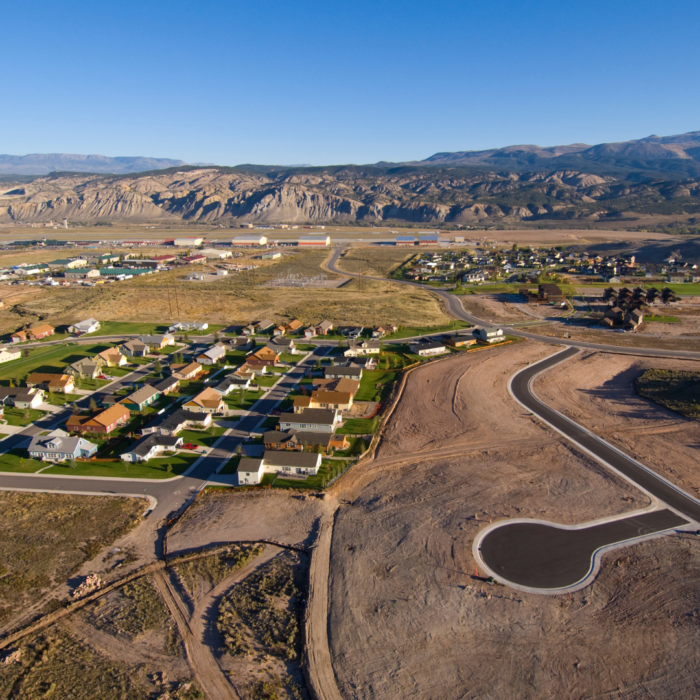
Mapping and Surveying
Fixed-wing drones are ideal for large-scale surveys, offering high efficiency and long endurance. For smaller or more detailed areas, multirotors are a great choice.
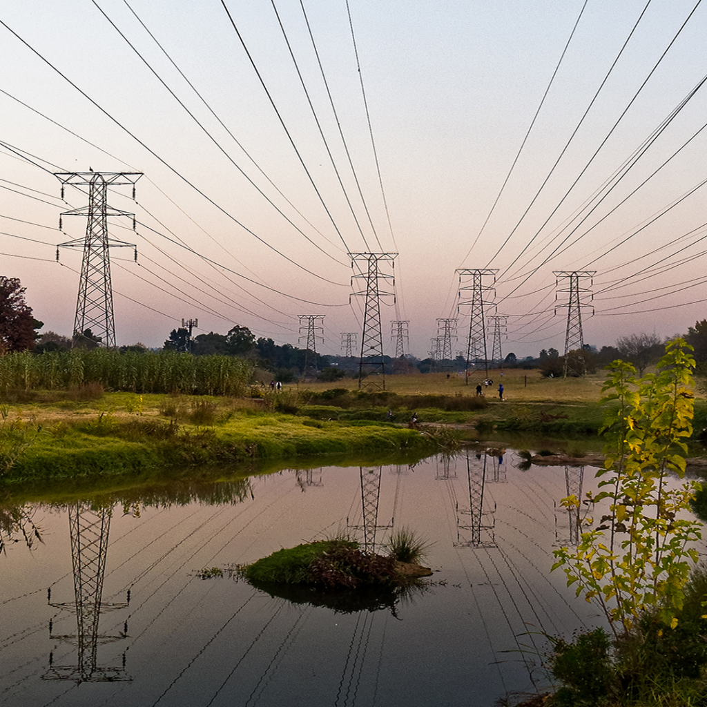
Infrastructure Inspections
Multirotors excel at performing precise close-up inspections of buildings, bridges, and other structures, while fixed-wing drones can be used for more extensive surveying and monitoring.
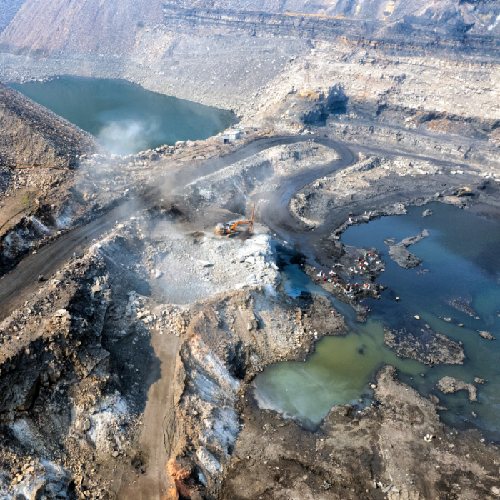
Mining
For large mining operations, fixed-wing drones can cover vast areas quickly. Multirotors are useful for more specific inspections, such as measuring stockpiles or conducting detailed site analyses.
Agriculture
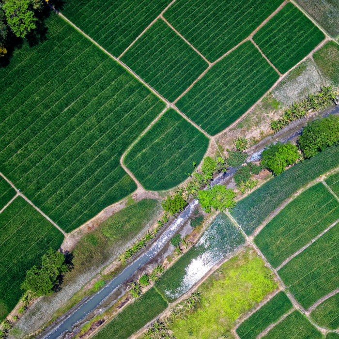
Multirotors are great for capturing detailed data over crops, providing precise measurements of plant health and growth.
BVLOS: What drone is the best?
BVLOS (Beyond Visual Line of Sight) operations expand the range of drone missions, allowing them to travel further and complete larger-scale surveys. BVLOS operations typically require more advanced drone systems that can maintain reliable communication over long distances.
Fixed-wing drones are ideal for BVLOS operations due to their long flight durations and ability to cover large areas. Some hybrid drones also support BVLOS operations, offering both vertical take-off and long-distance flight.
BVLOS flights require proper certifications and compliance with aviation regulations. Before choosing a drone for BVLOS operations, ensure you meet all necessary legal requirements. For example, in Canada, you need a SFOC (Specialized Flight Operation Certificate) permit to fly a drone under special conditions.
Choosing the right drone for your LiDAR survey can significantly impact the success and accuracy of your project. Whether you’re surveying large expanses of land or conducting detailed infrastructure inspections, understanding how different types of drones affect LiDAR data collection is essential for achieving high-quality results.
Other news
Éducation
29 July 2026
Technological sovereignty
Discover why technological sovereignty influences the choice of geospatial solutions in...