
Mobile mapping with the Connectiv modular geospatial sensor.

The Connectiv sensor can be used for mobile mapping projects with the Adaptiv weatherproof enclosure. It allows the sensor to be mounted on road vehicles or boats to collect geospatial data while in motion.
- Adaptiv brings Connectiv’s performance to mobile mapping applications through:
- SLAM correction in GNSS-challenged environments.
- Compatibility with Trimble INS (APX 20, 30, 50).
- Multiple LiDAR module options.
- IP65-rated design, protecting the sensor from water and dust.
- Saltwater resistance.
Adaptiv enables georeferenced mobile LiDAR data acquisition. Its architecture is fully integrated into the evolving Connectiv ecosystem.
An installation adapted to your vehicle.
Adaptiv can be mounted on a wide range of land and marine vehicles.
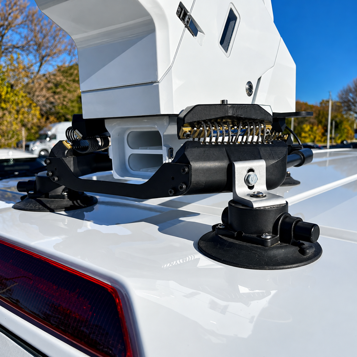
Suction cup mounting
Easily move Adaptiv from one vehicle to another and use the system according to each project’s needs.
Rail mounting
For organizations looking to install Adaptiv permanently or semi-permanently on a dedicated vehicle, the suction cups can be replaced with a mounting system that attaches to roof racks.
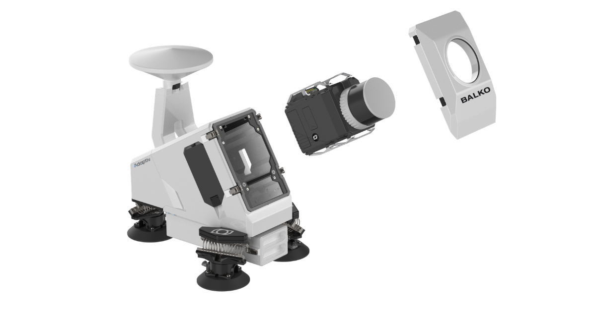
In both configurations, Connectiv simply slides into the Adaptiv enclosure, creating a mobile mapping system ready for data acquisition.
From drone to vehicle with the same sensor.
The Connectiv system used with Adaptiv is the same modular geospatial sensor used on a drone.
With Adaptiv, Connectiv can be used for mobile mapping.
On a compatible drone, the same sensor can be used for aerial data acquisition. Camera modules can also be added to capture even more synchronized data.
This approach makes it possible to choose the acquisition method based on the terrain, accessibility, features to be surveyed, and required data, rather than being limited by equipment designed for a single platform.
Compatible Connectiv configurations.
Connectiv integrates the LiDAR and inertial navigation system (INS) into a single acquisition platform. Their synchronization associates each measurement with precise position and orientation data to produce georeferenced 3D point clouds.
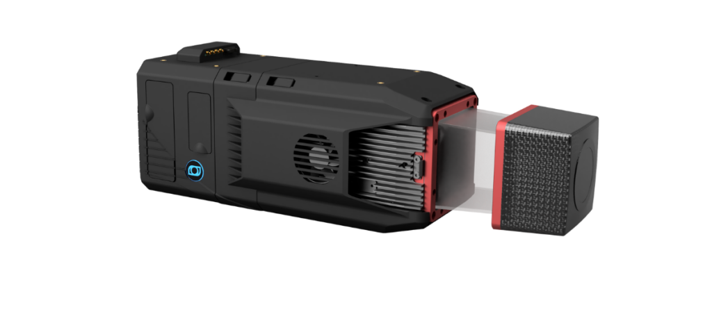
Adaptiv is compatible with all INS modules and the following LiDAR modules:
XT32-M2X
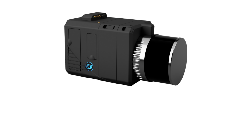
miniVUX-1 and miniVUX-3
A centralized workflow for mobile and aerial data.
Changing platforms does not mean changing workflows. Whether Connectiv is used with Adaptiv for mobile mapping or with a drone for aerial surveys, the way data is controlled and processed remains the same.
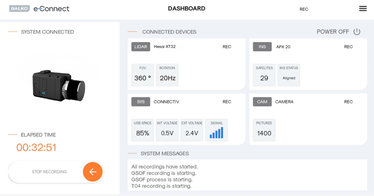
e-Connect
e-Connect is used to configure and control Connectiv and monitor data acquisition, whether the sensor is mounted on a vehicle or a drone.
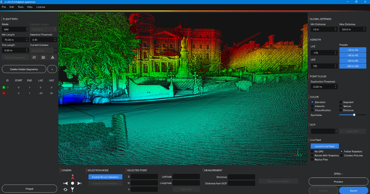
e-Las
The data is then processed using e-LAS, ensuring a consistent workflow across different types of missions. Processing can be performed on a desktop computer or through e-Cloud. The cloud-based version of e-LAS allows multiple missions to be processed simultaneously.
Combine perspectives based on the project.
Use Connectiv as the central acquisition platform and deploy it using the method best suited to each part of the project.
Municipalities and land management
Drone surveys can be used to produce digital terrain models and orthophotos, as well as inspect infrastructure. Mobile mapping documents streets, building façades, and assets visible from ground level. Combining both methods gives municipalities a more complete representation of their territory to support asset inventories, planning, and infrastructure management.
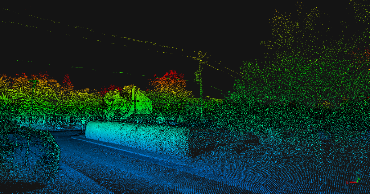
Roads and infrastructure
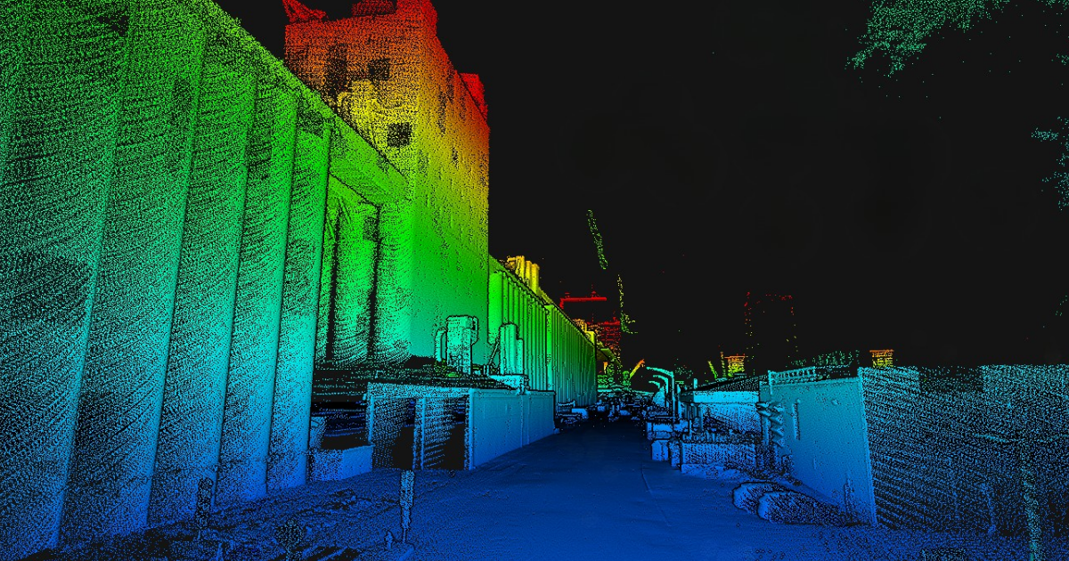
Mobile data acquisition makes it possible to efficiently survey road surfaces, roadside assets, and features visible from ground level. Drone acquisition can complement this data with an aerial view of the corridor, structures, and their surroundings.
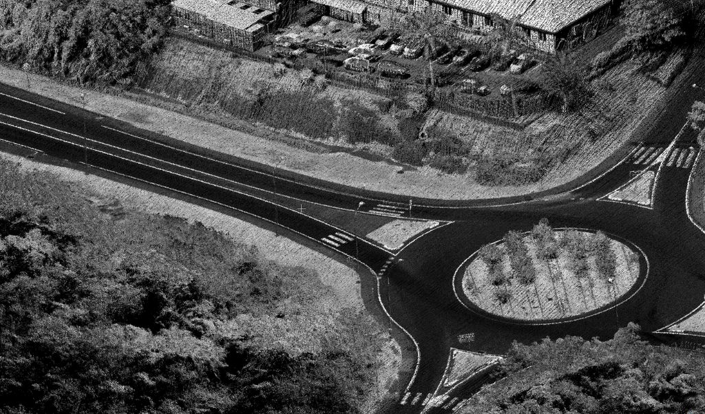
Construction and industrial sites
Drones can cover large or difficult-to-access areas, while Adaptiv facilitates data acquisition along roads, facilities, and areas accessible by vehicle.
FAQ Adaptiv
Adaptiv is Balko’s mobile mapping system. It allows the modular Connectiv geospatial sensor to be mounted on a vehicle for terrestrial data acquisition.
No. Adaptiv is the housing designed to install the Connectiv data acquisition sensor. Adaptiv can be used by organizations that only need mobile mapping capabilities. The option to use the same Connectiv system on a drone provides additional flexibility for teams that require both acquisition methods.
Adaptiv can be installed using suction cups on a wide range of land and marine vehicles. The suction cup system makes it easy to move the acquisition system from one vehicle to another. Our team can also develop custom solutions to install Adaptiv on your vehicle’s rail system.
Yes. Connectiv can be removed from the aerial platform and installed in Adaptiv. The same acquisition system can therefore be used for aerial or terrestrial data collection depending on the project requirements.
The first version of Adaptiv supports mobile LiDAR acquisition with compatible Connectiv configurations. However, the platform is designed to evolve with the Connectiv ecosystem and support additional data acquisition capabilities as they become available.