Optimize extraction, safety, and compliance
Mining operations demand precise knowledge of terrain, stockpiles, and infrastructure. Drone-mounted LiDAR and photogrammetry provide accurate 3D data that supports faster decision-making and reduces survey risks. From open pit design to tailings dam monitoring, Balko’s technology delivers actionable information that enhances productivity, protects workers, and ensures regulatory compliance.
CONNECTIV APPLICATIONS IN MINING
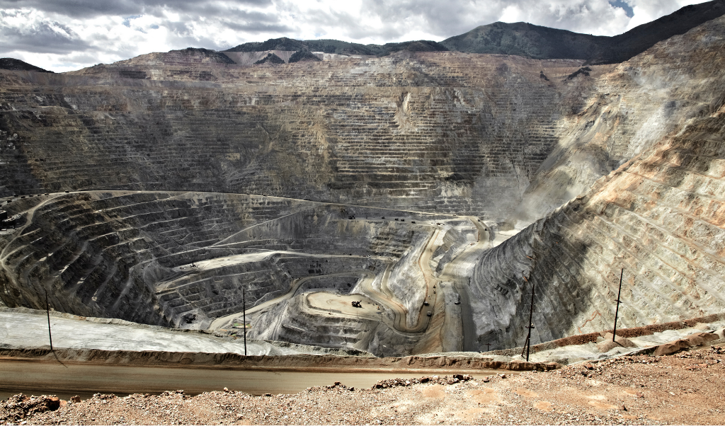
Open Pit Mapping
High resolution terrain models of benches, pit walls, and haul roads give engineers the data they need to design efficient extraction sequences, optimize blasting, and ensure slope stability. Drones equipped with LiDAR can safely capture information from hazardous or inaccessible areas without interrupting operations.
Frequently used with: VUX-120
High point density and ability to capture vertical faces. The VUX-120 supports high PRR, wide FOV, and multiple scanning directions (nadir/forward/backward), which helps on vertical surfaces.
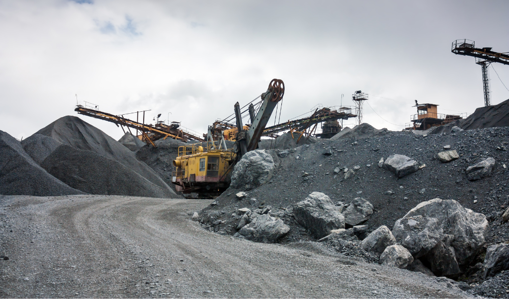
Stockpile Measurement
Accurate volume calculations are essential for inventory management and financial reporting. Repeated drone surveys allow operators to quantify stockpile changes with centimeter precision, track production, and verify shipments while reducing the need for manual surveys on unstable surfaces.
Frequently use with: miniVux-3
Dense point cloud and good detail over moderate altitude. The miniVUX-3 offers selectable pulse rates up to 300 kHz and supports high-density mapping in UAV use.
Tailings Facility Monitoring
Safety and environmental compliance require continuous oversight of tailings dams and waste rock storage areas. LiDAR and photogrammetry detect settlement, erosion, or structural changes early, helping prevent failures and supporting transparent reporting to regulators and stakeholders.
Frequently use with: XT32/M2X
Triple-return capability (better in variable reflectivity/vegetation edges) and lighter weight, which helps in repeated surveys.
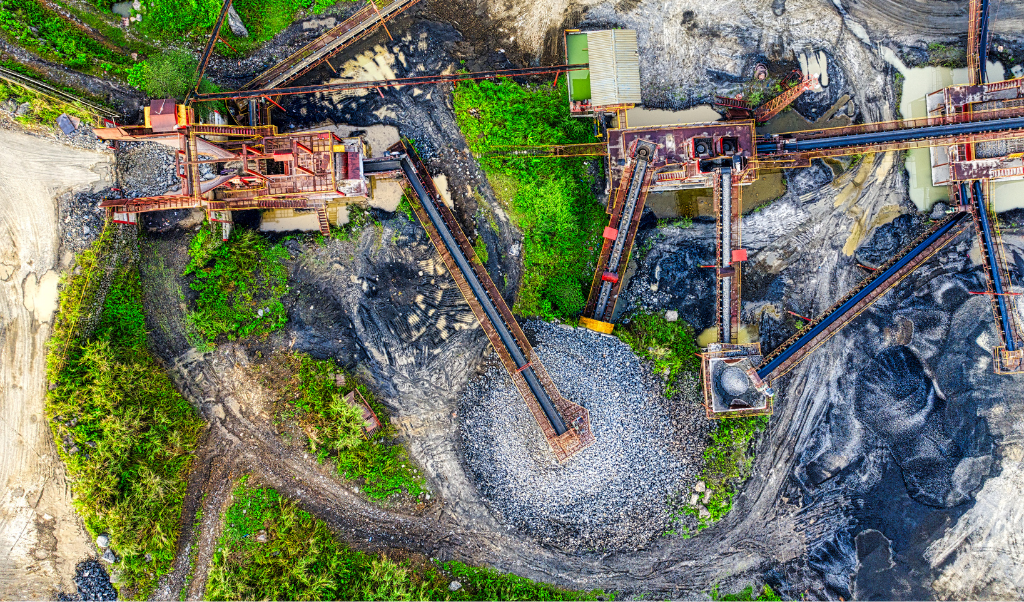
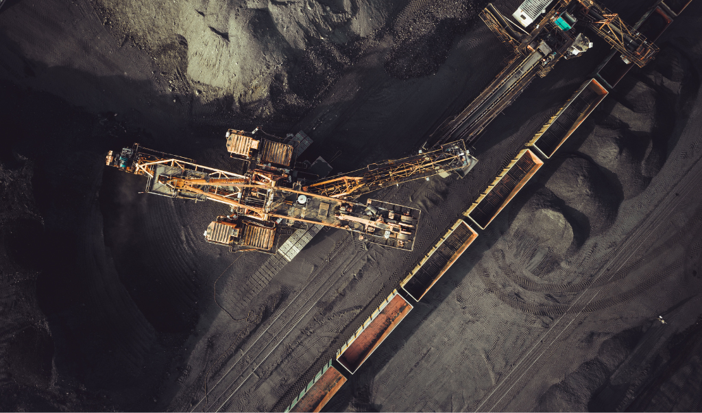
Infrastructure and Access Control
Mining depends on reliable access roads, conveyor systems, and pipelines. Drone surveys document corridor conditions, identify deformation or obstacles, and provide elevation profiles for engineering upgrades. This ensures uninterrupted logistics and reduces downtime.
Frequently use with: VUX-120
Range, density, and multi-direction scanning to deliver a complete picture of mine infrastructure and access networks in a single pass.
Environmental Rehabilitation
Progressive reclamation requires proof of landform stability and vegetation regrowth. With LiDAR and photogrammetry, mining companies can monitor slope reshaping, quantify backfilling, and evaluate vegetation cover, producing measurable evidence of compliance with closure plans.
Frequently use with: miniVux-1
Dense coverage at lower altitudes, ideal for detecting subtle surface changes, erosion, vegetation regrowth. The miniVUX family is lightweight and suited for close mapping.
You have a project and would like to know how Connectiv can achieve it? Contact us today to learn more about more applications in mining.
CONFIGURE CONNECTIV FOR YOUR MINING MANAGEMENT PROJECTS
Choose the right LiDAR Module
| Riegl VUX-120 | Riegl miniVUX-3 | Riegl miniVUX-1 | Hesai XT32M2X | Hesai XT32 | |
| Detection Range | 720m (@20% reflectivity) | 320m (@60% reflectivity) | 250m (@60% reflectivity) | 120m (@80% reflectivity) | 120m (@10% reflectivity) |
| Point Density | Very High (Up to 2.4M pts/sec) | High (300k pts/sec) | Medium (100k pts/sec) | High (640k pts/sec) | High (640k pts/sec) |
| Precision | 5 mm | 1 cm | 1 cm | 3cm | 3cm |
| Accuracy | 10 mm | 2cm (apx20) 4 cm (apx15) | 2cm (apx20) 4 cm (apx15) | 3cm | 5 cm |
| Echos (Returns) | Up to 32 | Up to 5 | Up to 5 | Up to 3 | Up to 2 |
| Field of View (FOV) | 100° (10° forward, nadir, 10° backward) | 360° horizontal | 360° horizontal | 40.3° x 360° | 31° x 360° |
| Weight | ~2.5 kg | ~2.4 kg | ~2.4 kg | ~1.3 kg | ~1.7 kg |
| Key points | High precision. Corridord mapping. | High point density. Ideal for detailed scans. | Small-area mapping. Low-altitude surveys. | Lighter. Efficient for wide-area scanning. | Lighter. Efficient for wide-area scanning. |
| Best Use Cases | Access road, conveyors, vertical surfaces. | Volume calculation. | Vegetation regrowth, erosion. | Erosion detection, structral changes. | Erosion detection, structral changes. |
Choose the Right Camera
RGB Camera
RGB cameras add visual detail to LiDAR surveys, providing true color context that enhances interpretation of 3D models. In mining operations, this imagery supports the inspection of haul roads, berms, and pit walls by making cracks, ruts, or dust accumulation easier to detect. When combined with LiDAR, RGB data also produces photorealistic 3D models that improve communication with engineers, managers, and regulators.
Multispectral Camera
Multispectral and hyperspectral cameras capture information beyond the visible spectrum, revealing surface characteristics that LiDAR or RGB alone cannot show. In mining, these sensors can identify moisture in tailings, stress in rehabilitated areas, and subtle variations in material composition across stockpiles or waste piles. By fusing this spectral information with LiDAR data, operators gain a more complete view of both the physical and environmental conditions of the site.
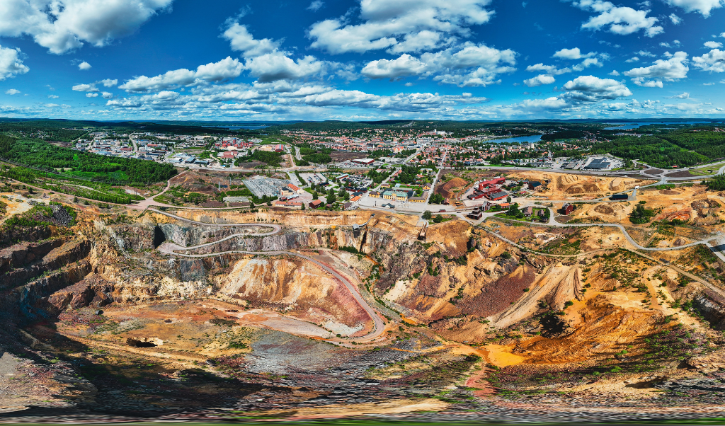
Mining Mapping by Drone
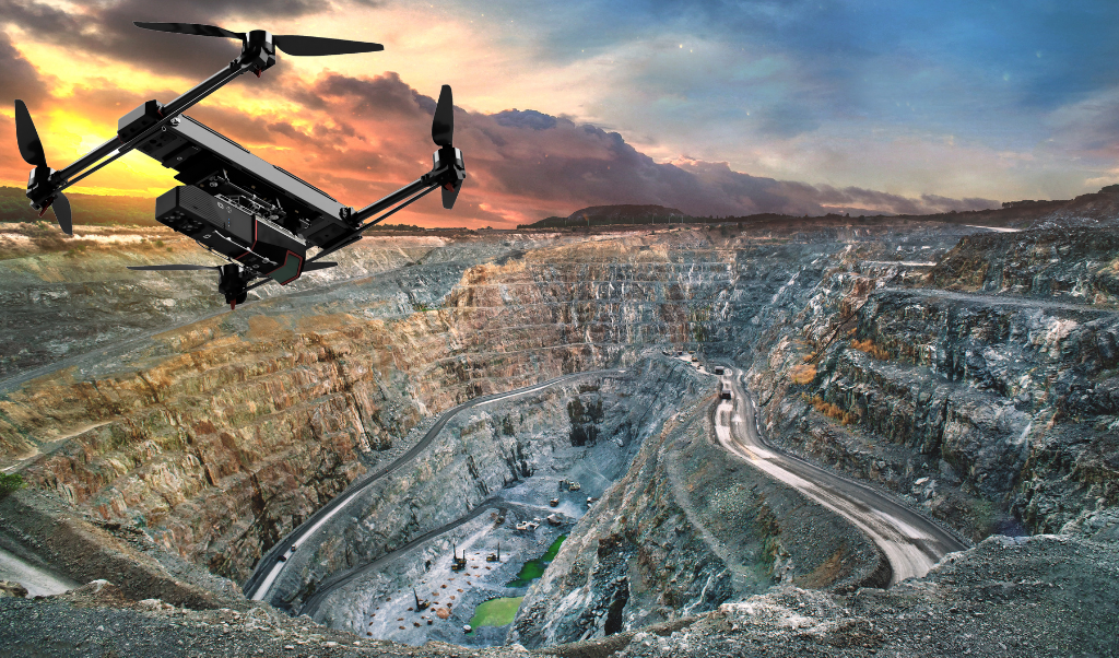
Drones are a powerful asset for mining surveys because they collect accurate data quickly and safely over areas that are difficult or dangerous to access on foot. Flying above pits, stockpiles, and tailings facilities, they capture high resolution LiDAR and photogrammetry data without interrupting operations or exposing personnel to hazards. Compared to traditional ground surveys, drones cover more ground in less time, reduce operational costs, and deliver frequent updates that support better planning and decision making across the entire mining site.
Refer to our guide to help you choose the right drone to carry you Connectiv.